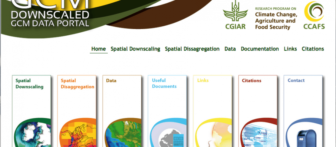
Spatial Downscaling Methods: CCAFS-Climate Data Portal
Supporting a wide variety of research
Created in 2008, the portal’s immediate objective was to produce and make  high-resolution climate data available to the public. It now contains about 14 terabytes of easy to use, open access datasets of climate projections that will help researchers make climate change impact assessments. The portal can support research in a variety of fields related to biodiversity and agriculture, particularly crop modelling and agro-climatology.
Applications include assessing ecosystem functioning, options for policy-making, and food security and adaptation planning.
Downscaled models to fit the agricultural context
Global Circulation Models (GCM) are presently the most important tool for representing future climate conditions, however, their coarse spatial resolution (typically around 100 - 300 km) is too large scale to assess impacts in agricultural systems. Considerable downscaling to finer resolutions has to be done before the data generated from GCM models can be used for assessing possible impacts on agriculture.
CCAFS-Climate datasets have been downscaled using several methodologies. These methodologies vary in accuracy, output resolution, computational and time requirements, and climatic science robustness. Dynamical downscaling methods provide 20 to 50 km surfaces by remodelling GCM outputs.However, they are only applicable to a limited number of GCMs and require considerable processing capacity.
Statistical downscaling, on the other hand, provides an easy-to-apply and much more rapid method for developing high-resolution climate change surfaces for high resolution regional climate change impact assessment studies. In fact, statistical methods like the Delta Method (the most widely used among scientists) can reach resolutions as fine as 1 km or less.
How to use the CCAFS-Climate Data portal
The portal is accessible online and the data are provided by the CGIAR Research Program on Climate Change, Agriculture and Food Security (CCAFS) and the International Center for Tropical Agriculture (CIAT). The data can easily be found via an updated search engine, by specifying method, emissions scenario, period, model, climatological variable, resolution, format, and region.
The website includes useful explanations and documentation to help users understand the technical principles of the downscaling techniques and other useful information about the data. It also includes a Contact Us section providing user support via e-mail and an About Us section with institutional information and a quick guide to citing the data in peer-reviewed publications. The datasets have already been used in several studies, from documenting suitability for Portuguese wine production in the future, assessing climate impacts on threatened spiders, to maize production scenarios in sub-Saharan Africa, and dryland expansion under a warming climate. These reports can be found on the “citations page” on the CCAFS-Climate Data portal.
The portal contains complete spatial downscaled datasets from the Intergovernmental Panel on Climate Change (IPCC) Third, Fourth and Fifth Assessment Reports, while providing MarkSim pattern-scaled data and resources.
New available data for climate research The data is up-to-date, and corresponds to the Intergovernmental Panel on Climate Change (IPCC) Fifth Assessment Report. This includes a complete dataset of Global Climate Models for four Representative Concentration Pathways and four time periods: 2030s, 2050s, 2070s and 2080s. These pathways are four greenhouse gas concentration (not emissions) trajectories adopted by IPCC for its fifth report. The pathways are used for climate modelling and research. They describe four possible climate futures, all of which are considered possible depending on how much greenhouse gases are emitted in the years to come.
The CCAFS-Climate Data portal has also launched a new and improved user interface that enhances functionality and visual appeal. The changes include a new search engine for the easy location of datasets, the option of downloading files by geographic tile rather than the entire globe, and a new version of the MarkSim weather generator.
- Visit the CCAFS-Climate online portal!
- Download CCAFS-Climate flyer!
The portal contains four different sets that can be explored further