Atlas of CCAFS sites
Jump to:
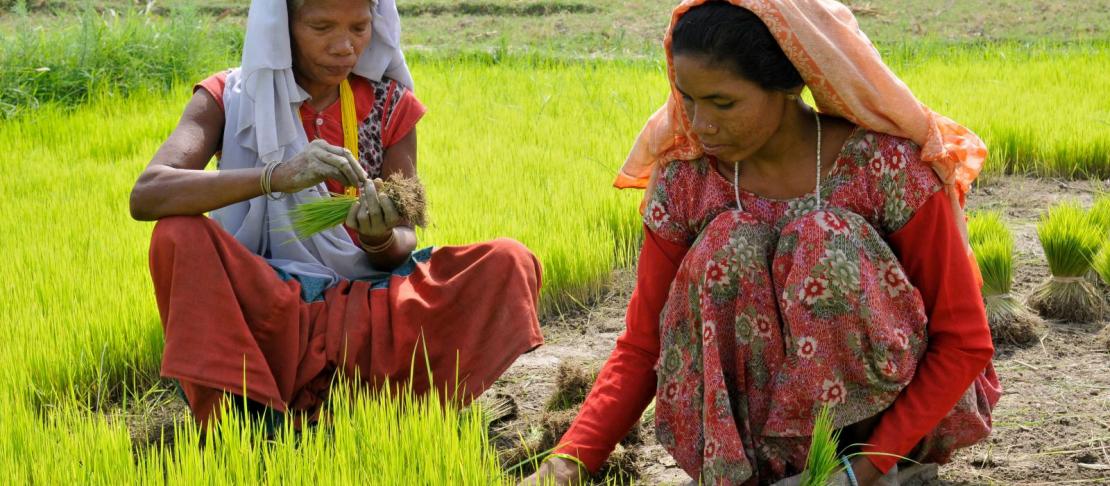
CCAFS has created an atlas for each of the 15 sites where place-based research on climate change, agriculture and food security is ongoing.
The atlases profile geospatial indicators of climate variability, bio-physical characteristics and socio-economic variables for each site.
Specific characteristics include annual rainfall and temperature, topography, agricultural resources (soil types, length of growing period, land cover and land use), population and livestock density, market access and livelihood zones. There are also maps showing the length of the growing period in 2000 and the projected length of the growing period in 2030. Combined with the household, village and organisational baseline studies, these site atlases help provide context for each site, and ways in which climate change may affect their food security and agricultural practices.
East Africa
Ethiopia - Borana (download)
Kenya - Makueni / Wote (download)
Kenya - Nyando / Katuk Odeyo (download)
Tanzania - Usambara / Lushoto (download)
Uganda - Albertine Rift / Hoima (download)
Uganda - Kagera Basin / Rakai (download)
West Africa
Burkina Faso - Yatenga / Tougou (download)
Ghana - Lawra - Jirapa / Lawra (download)
South Asia
Bangladesh - Khulna / Morrelganj (download)
India - Haryana / Karnal (download)
India - Bihar / Vaishali (download)
Nepal - Mid-Western Terrai / Rupandehi (download)