Rainfall patterns can help reveal climate impacts on agriculture
Good climate data (long‐term temporally homogeneous time series with good spatial coverage) is critical for assessing climate‐related risks, understanding climate change in a long-term context, understanding the impact of climate on different socioeconomic activities, and producing useful climate atlases. CCAFS partners are working on downscaling data to shorter time periods and smaller geographical areas, in order to make climate data more useful for agricultural decision-makers. The conventional source of climate data has been measurements at weather stations. However, the number and quality of weather stations in Africa, Latin America and other regions has been declining.
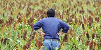
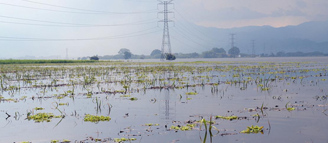
With a small number of stations scattered over large areas, and many stations located in cities and towns along the main roads, they are not always best placed to measure different climate events. This causes problems for data collection and availability; often there are severe data gaps which make it extremely difficult to model future climate predictions. Besides causing problems for scientists studying these issues, availability of climate information and services are severely limited for the rural communities that need it the most.
The most complex climatic variable is daily rainfall, due to the combination of high‐frequency/low‐ magnitude and low‐frequency/high‐magnitude events. Good precipitation data can help uncover the physical processes governing rainfall, and help scientists assess the impact of a changing climate on agriculture and other related economic activities.
Recently, climate and agricultural scientists working with the CCAFS program got together in Lima, Peru for a workshop to discuss methodological approaches for understanding and modeling rainfall patterns at different time and space domains and to initiate a network of scientists seeking for the most suitable approach possible. The participants shared methodological approaches for analysing rainfall patterns, in order to identify research gaps in rainfall data generation and climate downscaling, and select research sites for testing these methods. The objective was to define a strategy for collaborative research on these topics among CCAFS partners.
Sessions covered topics such as:
- Approaches to assess precipitation characteristics
- Generating historical time series of daily rainfall by combining satellite rainfall estimates and rain‐gauge measurements:
- Spatial downscaling of future climate predictions for Agriculture
- Impact of extreme events such as South American Monsoon
The participants agreed to work together in multiple sites in developing countries to assess the suitability of the new approaches discussed. They will also seek funds to address research gaps
Read more...
Download the workshop report: Executive summary of presentations and discussions (PDF)
Related blog story: Future climate grids available for download
Learn more about CCAFS work on downscaling weather data