New hybrid cropland map shows global agricultural land use
 Steffen Fritz and Linda See(Aarhus University)
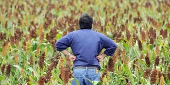
One of the main challenges of this coming century is to ensure food security from land that is increasingly under pressure from a rapidly increasing population, biofuel expansion and changing diets, among many things. In a climate characterized by major increases in food prices and continued market volatility, we need better information on the global status and dynamics of agricultural land use in order to make good policy, investment and logistical decisions.
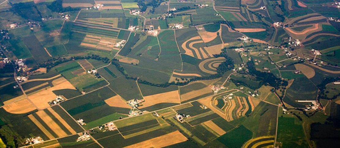
This information is relevant not only to food security but also to the future of energy and environmental change in modelling scenarios of the future. The main source of cropland extent at a global scale is land cover products but research has shown that these products have large spatial disagreements in the cropland domain when compared with one another. The uncertainty is as high as 20 per cent of the total area. Although remote sensing technologies are improving all the time, we need a solution to this problem - now.
For this reason, a new global hybrid cropland product has been developed with support from many partners, including the CGIAR Research Program on Climate Change, Agriculture and Food Security (CCAFS), which integrates all available maps of cropland extent into a single product - at a global, regional and national level - calibrated with national and sub-national crop statistics. A beta version is available for visualization, and the map can be downloaded, for use in other applications. The geo-wiki site contains tools for providing comments directly on the map itself or through a feedback facility. Download of maps requires an account.
We encourage your feedback to help us improve this product, which will be continually updated as new cropland datasets are shared and produced in the future.
Steffen Fritz and Linda See are both Research Scholars in Ecosystems Services and Management at the International Institute for Applied Systems Analysis (IIASA). Click here to read more about CCAFS work in Data and Tools for Analysis and Planning.