Climate change: mobile telephony could change things!
 Robert Zougmoré, Sékou Touré(CCAFS West Africa)
It is possible to measure the quantity of rainwater on the ground using the mobile phone. This is being done by a team of researchers of the University of Ouagadougou in Burkina Faso.
In order to forecast seasonal climate, better situate drought or flood alerts, better manage the flow rate of hydro power stations, ensure better management of water resources, etc., it is essential for researchers working in meteorology modeling to monitor rainfall. In this regard, Professor François Zougmoré, Head of the Materials and Environment Laboratory (LAME) at the University of Ouagadougou, and his team have developed a new technique for measuring quantities of rainfall at specific times using mobile telephony.
What is this technique?
Traditional methods use rain gauges, radars or satellite data. These various devices have given and continue to be satisfactory, but they have their shortcomings.
Regarding rain gauges, the shortcoming concerns the coverage capacity which is rather limited. As regards to radars, their cost is rather prohibitive for African countries. Lastly, satellite monitoring and weather forecasts are still subject to uncertainty, particularly for very limited areas and time: Satellites do not provide accurate data on a given area during a given time.
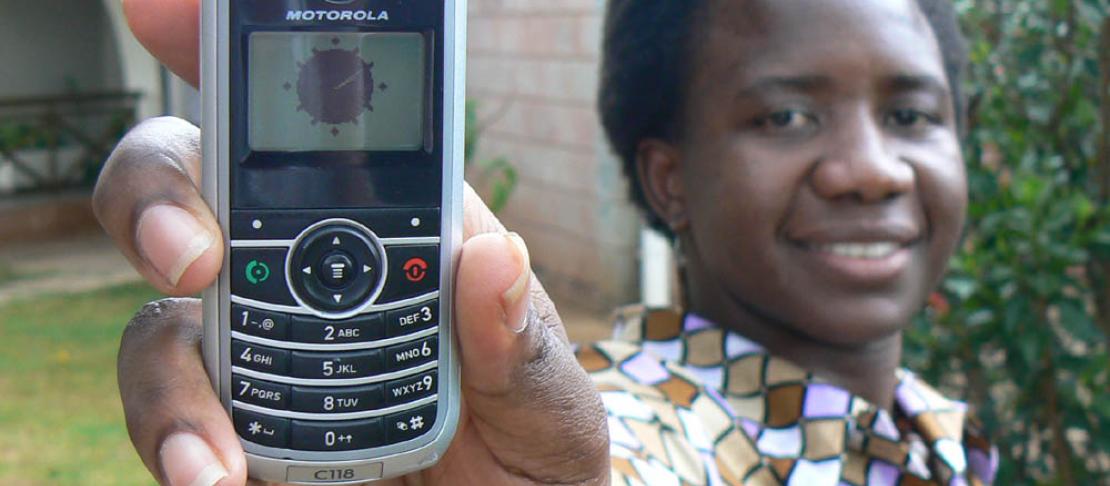
To address these shortcomings, the research team has proposed a new technique using telecommunication links of commercial cell phones to determine the quantity of rainfall. Today, the pylons of mobile phone companies densely cover the territory for the transmission of message carrier waves.
The idea is part of a simple principle, which is based on a property of rain well-known to telecommunication professionals. Indeed, water drops reduce the radio signal transmitted between two pylons. So when it rains, the quality of reception between pylons drops. In fact, at all times and at any time of the year, the waves are disrupted; however, during the rainy season, the situation becomes critical for radio signals.
To address this problem, mobile telephone operators systematically record the power transmitted and the power actually received between two consecutive pylons. If there is a significant drop i.e. the subscriber beyond the last pylon does not receive good quality communication, they increase the power. In this way, they monitor the propagation of waves between pylons, and make adjustments as required.
Since the disruption increases when it rains, a quantitative link has been made between this phenomenon and the quantity of water passing through the waves. Clearly, the quantity of rain can be estimated from the drop in the wave power, by determining the difference between what is transmitted and what is received. This is the work undertaken over the past three years by LAME laboratory and two other laboratories, one in Grenoble and the other in Toulouse, to measure the quantity of rainwater when rain disrupts power between two consecutive pylons. And today, they have achieved their goals and even obtained very satisfactory results that were published in mid-July in the journal "Geophysical Research Letters."
LAME laboratory and two laboratories of the Institute for Development Research (IRD): the Hydrology and Environment Transfers Laboratory (LTHE) in Grenoble and “Geosciences Environment Toulouse” have therefore developed an innovative technology, for the first time in Africa, for estimating rainfall and its spatial distribution.
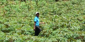
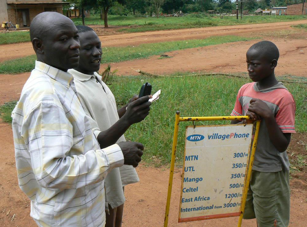 Photo: Ken Banks
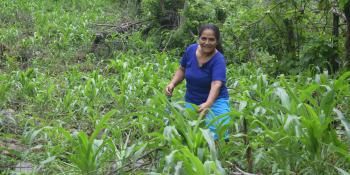
The information is not only important to meteorolgists but farmers too.
Climate change at the core of the problem
Today, the problem of climate change requires modeling; that is, we can conduct theoretical studies with long-term projections, a student is working on this issue with projections to 2080 and beyond, in collaboration with WASCAL programme.
It should be noted here that CCAFS and WASCAL maintain a successful partnership through which the two programmes will collaborate to conduct research on climate, capacity building and sharing of scientific data and information on the issue of climate in agriculture. Consequently, the two programs have decided to use CCAFS research sites to conduct field research and studies for WASCAL students, enhance existing expertise at CCAFS for curriculum development for the various master's and thesis programmes in WASCAL, etc. To the credit of this collaboration, particular mention should be made of the side event organized during the FARA Africa Week on agricultural sciences and climate-smart agriculture organized each year by CCAFS West Africa for students of the WASCAL thesis programme on climate change and agriculture. In this specific project, WASCAL assistance is very useful because it will provide data for a fairly accurate analysis of the climatic situation.
The other implication of climate change concerns its violent effects ranging from floods to drought, including cyclones. At this level, the contribution of the innovation is significant. With quantification, public and international authorities and organizations in charge of these issues will know which area, almost in realtime, runs a risk of floods or a prolonged dry period. Still in the area of climate change, there is ongoing cooperation with WASCAL, particularly through the signature of a“Consortium Agreement” for the establishment of a “Rain Cell” in Burkina to promote this innovative technique for estimating rainfall in all African Union countries.
In addition to the University of Ouagadougou and WASCAL, IRD (GET and LTHE) and Karlsruhe Institute of Technology, Garmisch-Partenkirchen, Germany, form part of the Rain Cell Burkina Consortium, the forerunner of the “RainCell Africa”.
Support for telephone operators and weather services
To make this experience possible, it was necessary to support the telephone operator “Telecel Faso”, which kindly made its digital data available, particularly those on the 2012 rainy season. This helped progress and develop this innovation.The other operators are also very willing to collaborate, in particular “Telmob” which, also made its digital data available.Particular attention is paid to the operator “Airtel”,which covers 85% of the African continent, for the application of this technology in WAEMU countries.
Relations were established from the outset with meteorological services to install equipment (radar and rain gauge). The approval of the Ministry of Telecommunications and the Ministry of transport is required. Support from these Ministries has made it possible to install equipment in selected areas.
Further reading
Managing climatic risks to combat land degradation and enhance food security: key information needs
Cell phone towers monitor African rains
This blog is taken from the interview of Fulbert Paré by Professor François Zougmoré for the online journal lefaso.net
Robert Zougmoré is the CCAFS Regional Program Leader for West Africa
Sékou Touré is the Communication Officer for CCAFS West Africa Programme.
Get a full rundown of Climate-Smart Agriculture events at Climate Week NYC and follow updates on our blog and via twitter @cgiarclimate. Learn more about Climate-Smart Agriculture and Climate-Smart Villages.