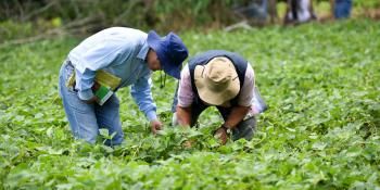
Seasonal climate analyses improve agricultural decision-making in Africa, potentially benefitting 125 million people

Meteorological tools can benefit farmers in multiple ways: they allow farmers to seed and harvest at the right moment, minimize crop losses, and inform agricultural decision making. Newly developed meteorological tools now allow better climate forecasting for a population of 125 million in East and West Africa. These tools were developed by CCAFS and the Enhancing National Climate Services (ENACTS) initiative hosted by the International Research Institute for Climate and Society (IRI) at Columbia University's Earth Institute. In addition to developing the tools, CCAFS also supported implementation in the regions, holding 23 training visits or events.
The new “Maproom” tools (Rwanda, Senegal, Ethiopia, Mali, Madagascar) have a high resolution of 4-5 km and can thus provide regional information on rainfall characteristics, including number of rainy days, dry and wet spell frequencies, and mean rainfall intensity. A flexible interface allows users to specify thresholds and time windows for analyses. Information is provided as maps, or as graphs and tables.
Further reading:
- Blog: Quality climate data, the foundation of tomorrow’s climate services
- Workshop report: Training on ENACTS Data Library and Maproom software
Project partners:
IRI, Columbia University, AGRHYMET Regional Center, IGAD Climate Prediction and Applications Centre (ICPAC), Meteo Rwanda, Agence Nationale de l'Aviation Civile et de la Météorologie (Senegal), Mali-Meteo, Meteo Madagascar, USAID, CIAT, ICRISAT, ILRI