Affordable new high-tech insurance product helps increase farmers’ resilience to climate change impacts
 Dannie Dinh(CCAFS)
Combining satellite data technology and historical data is reducing transaction costs for insurers, enabling affordable crop insurance options for farmers.
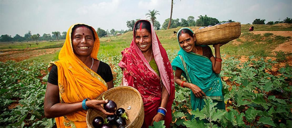
Smallholder farmers, especially those rely on rainfall to feed their crops and cattle, are particularly vulnerable to climate fluctuations. In a bad year, drought or flooding can wipe out farmers’ entire means of livelihood. Agricultural index insurance can help alleviate farmers from the risk of losses and falling into debt. However, there are challenges to designing cost-effective insurance products based on good data that help determine timely and accurate payouts.
CCAFS and the CGIAR Research Program on Water, Land and Ecosystems (WLE) work with partners to develop and bring climate-smart agricultural practices and climate services, including index-based insurance, for smallholder farmers. Through collaboration with Bajaj Allianz, a private insurance company, and government agencies and institutions, an insurance scheme called Index-based Flood Insurance (IBFI) was successfully developed and trialed in Bihar, India after a flood in August 2016. A combination of satellite technology and historical data is enabling insurers in the developing world to offer smallholder farmers affordable insurance products that help increase their resilience to climate change impacts.
In a recent blog post published on the WLE website, Giriraj Amarnath, explains:
To develop effective payout schemes for low-income, flood- or drought-prone communities, IBFI integrates hi-tech flood modeling, satellite imagery, and on-the-ground information to predetermine environmental risks, such as floods or droughts, to farmers in an accurate, cost effective, and speedy manner.
Determining crop yield using satellite images has been a real break-through. Being able to calculate how much crop yield a farmer will have allows insurance companies to cheaply and quickly determine: a) how much to insure for; b) the extent of loss after a disaster and; c) how much to pay affected farmers.
The key is establishing a vegetation index. This is done by comparing highly detailed satellite images of vegetated cropland with information collected on the ground about the agricultural productivity of farms. Government departments have been measuring crop yield for years, using techniques like crop cutting experiments (CCE), in which a square meter of crop is cut and weighed to determine yield. By comparing the satellite images against these ground-tested methods, scientists can create a correlation between the crop yield and the vegetation coverage in the image - thereby creating a vegetation index.
By using multiple sources – including remote sensing data, plot-specific geo-tagged crop growth information, and crop production data from government departments – to create this vegetation index, the potential crop yield of huge swaths of land can be precisely determined. All of this can be done using freely available satellite data and open software, like Google Earth.
Read the full article and find out more about this research: High-tech insurance product boosts smallholders’ resilience to floods and droughts. by Giriraj Amarnath, CGIAR Research Program on Water, Land and Ecosystems, 29 May 2017.
Read more:
Project page: Remote sensing innovations for index-based flood insurance in South Asia
Infographic: How can index insurance protect farmers against climate-based risks?
Publication: Making climate finance work in agriculture
Dannie Dinh is the Communications Officer for CCAFS Flagship on Climate Information Services and Climate-Informed Safety Nets based at the International Research Institute for Climate and Society (IRI).