New data helps map out food crises before they start
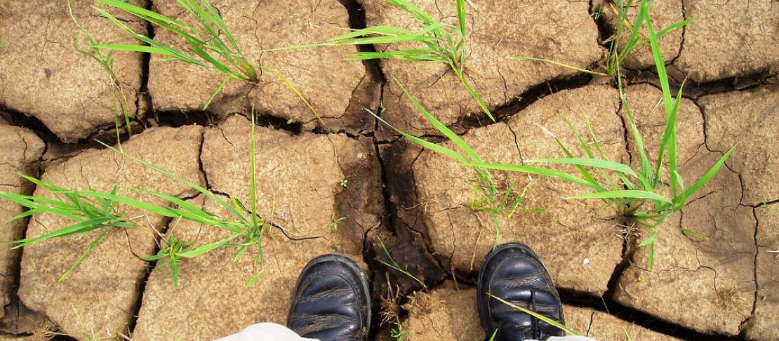

As drought threatens greater land area under a changing climate, understanding when and where it impacts food security is crucial.
Researchers from the CGIAR Research Program on Climate Change, Agriculture and Food Security (CCAFS) are teaming up with the U.S. National Aeronautic and Space Administration (NASA) to produce new data that could help prevent food crises.
Decision makers rely on models of agricultural productivity to help predict when and where food crises will hit, and who might need help. In areas where data is scarce, particularly in the developing world, satellites can lend a hand in closing the data gap. Now, new data is being incorporated into tools with potential use in better targeting plans to cope with threats to food security.
NASA’s sophisticated satellites have their eyes on the Earth’s surface and atmosphere from the skies every day, drawing in data ranging from weather to wildfires. To make sure their data is put to good use, NASA has begun working with users to tailor data collection and delivery to their needs before satellites are even launched. This is the first time NASA is using this new approach, and CCAFS is weighing in on data applications that make for better-targeted food security decision-making.
NASA is preparing for launch of a new satellite, the Soil Moisture Active Passive (SMAP) satellite, that will collect surface soil moisture data at a resolution of 9 meters every 2-3 days, a major improvement over existing data sources. To run the crop yield models that are used in many agricultural and food security decisions, soil moisture data at this scale is needed to capture what’s happening on the field level.
The CCAFS Research Theme on Climate Risk Management is working to improve advance information tools for farmers and food security decision makers, including an open source crop modelling platform that can be tailored to fit user needs. As part of this effort, CCAFS is supporting researchers from the International Research Institute for Climate and Society (IRI) and NASA’s Jet Propulsion Laboratory (JPL) in improving crop yield predictions through the use of satellite data.
These researchers are working with the developers of the SMAP satellite to ensure that new data outputs from the sensor are primed for crop modelling and food security early warning applications. As “early adopters,” these researchers are streamlining the use of new data and the transition from research to operational use.
Check out a video on “early adopters” of this new data:
In predicting crop growth over the season, researchers face a few types of uncertainty: error inherent in models, and uncertainty about weather conditions that can add up to drought over the season. Uncertainty about weather conditions can be reduced when climate models join forces with crop models.
The CCAFS Regional Agricultural Forecasting Toolbox (CRAFT) already provides tools to incorporate climate forecasts into crop yield models, but satellite data provides additional information, especially where there are gaps in weather data measured on the ground. By incorporating soil moisture observations into crop yield models throughout the growing season, production estimates can be improved, particularly later in the season, giving food security planners a better idea of where the needs are.
Check out other ways CCAFS is making data available for agricultural research and development: Climate data sought by hundreds of agricultural development agencies around the world
Satellite data is particularly useful in areas where weather data is sparse, often the case in remote, drought-prone regions of sub-Saharan Africa where advance warnings on food security are needed the most.
And yields from smallholder farms in particular are hard to monitor. Current satellites take soil moisture readings at a resolution of about 40 kilometers, so data from small farms gets lost. Working with users like CCAFS, the 9 kilometer spatial resolution of SMAP was designed to overcome this limitation and held get a better read on food security on small farms, and ultimately, support better targeted food security decision-making.
Learn more:
BLOG: New tool helps monitor crops in real time
BLOG: Scientists look to the skies to improve crop predictions on earth
BLOG: Fun and games with global cropland maps
Alexa Jay is the program and communications officer for CCAFS Theme 2 on Climate Risk Management Research, based at the International Research Institute for Climate and Society of Columbia University, New York.