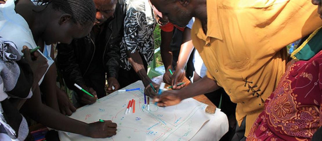
Rural community members map out a better future together
 Laura Cramer, Research Consultant(Aarhus University)
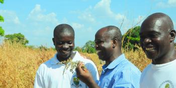
The people of Kamuana village in the CGIAR Research Program on Climate Change, Agriculture and Food Security (CCAFS) benchmark site in Nyando, Kenya have a vision for their community that involves increased forest cover, improved agricultural practices and yields, better roads, and more schools. The details of this vision were explained to CCAFS researchers who were conducting a village baseline study at the site in May 2011. The newly-published Nyando village baseline study is part of the CCAFS baseline – with household, village and organisation levels - implemented across all our sites in Eastern Africa, West Africa and South Asia. The results of the study, and of those conducted in CCAFS’ two target sites in Uganda (Albertine Rift and Kagera Basin) are now available, and the reports for the other sites will be available soon.
In addition to the household baseline surveys that were conducted at each CCAFS target site, the research team implemented a village baseline study (VBS) in one village at each site to understand the environment of the community. To date, fifteen VBS were conducted in the three CCAFS regions. The VBS aims to provide baseline information at the village level about basic indicators of natural resource utilisation, organisational landscapes, and information networks for weather and agricultural information, which can be compared across sites and monitored over time.
The detailed tools and guidelines used for the implementation, as well as all data, of the CCAFS baseline, including the VBS across all CCAFS sites can be accessed here.
The study used participatory methods of data collection over the course of the three day exercise. Throughout the data collection process groups of male and female members of the community worked separately. First, the research team used a high-resolution satellite image of the site and worked with each group to identify and sketch a map of resources that are important to the community, their current state, past state and what caused the changes. The research team then worked with each group to understand the organisational landscape and the links that exist between local and more broadly operating organisations in relation to food security in a normal year, in a year of crisis, and in relation to natural resource management.
The penultimate task was to work with each group to understand information networks in relation to weather issues and farming activities. The final task was to bring the male and female groups together and generate a vision of what the community would like their village to be in the future.
The study results are being used by CCAFS researchers in conjunction with an organizational baseline survey also carried out in each village where the VBS was conducted to understand the needs and desires of the community members versus the services being supplied by government and development organizations in the area. The findings of this analysis are being synthesized into a report which will be available in early 2013.
Read more:
CCAFS Village Baseline Study: Site Analysis Reports
This blog post was prepared by Laura Cramer, researcher at the CCAFS East Africa program. To get more updates, follow us on Facebook, and Twitter @Cgiarclimate.