Photo story: Ground-breaking women

In Lushoto, Tanzania, soil analysis will enable researchers to build maps which not only reflect the true complexity of soils within the landscape, but also put them in a position to give advice.
Tanzania’s north-eastern Usambara Mountains are part of the Eastern Arc Mountains which stretch between Tanzania and Kenya - a hotspot of biodiversity. Nestling in Lushoto district are communities grappling with diverse landscapes and intensifying weather conditions.
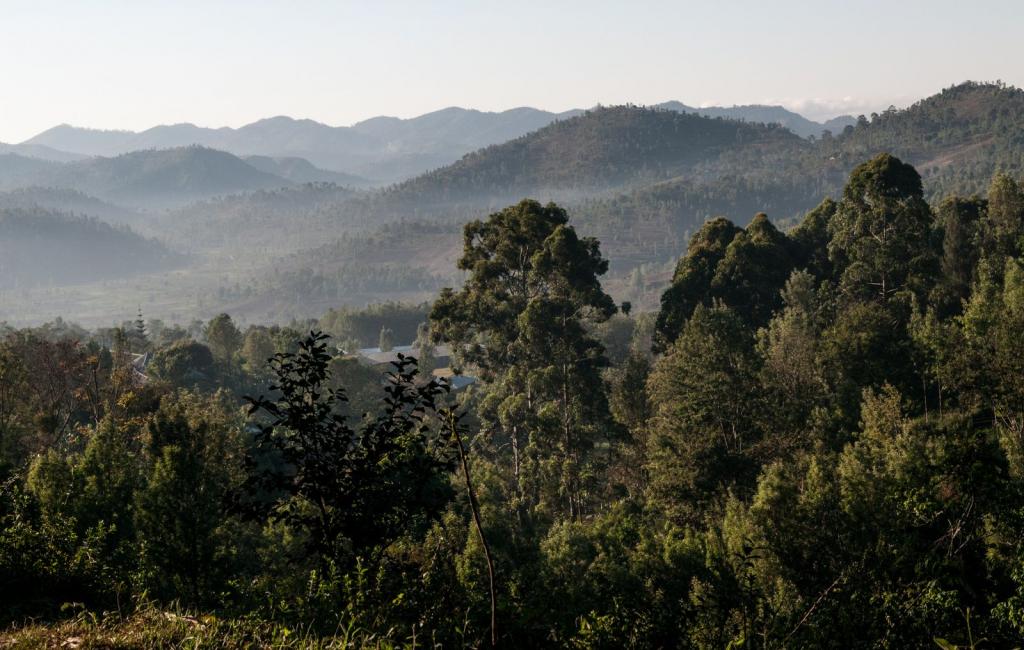
The slow, creeping devastation of land degradation doesn’t make headlines. What does is the aftermath: landslides, starvation, flooding. All of these events are being exacerbated by climate change, which has far-reaching consequences for agriculture and will disproportionately affect people dependent on agriculture for their livelihoods.
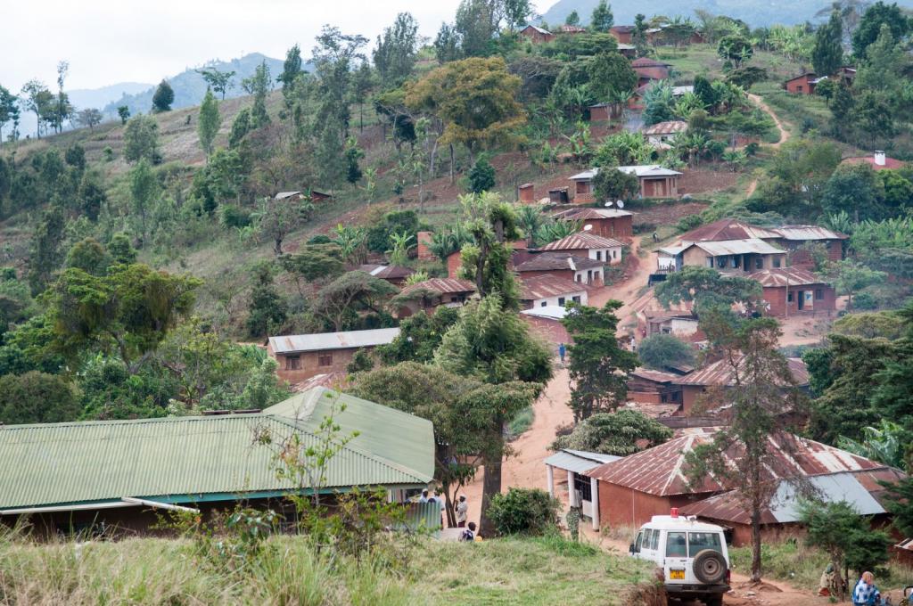
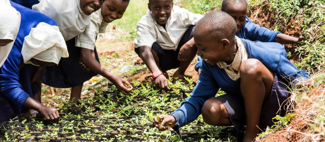
The diversity of the landscape in Lushoto is partly the result of soil erosion. Improved soil management practices boost soil fertility and make the whole farm more sustainable and resistant to climatic changes. Women and men have formed groups to help each other adapt their farming practices.
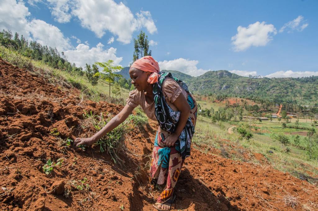
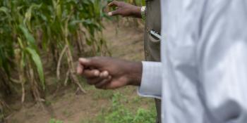
Farmers like Sharifa Juma, are leading the way in practicing improved soil management techniques – for example by terracing land, to prevent soil washing away during heavier periods of rainfall. “In order to adapt to the weather changes, the season may start with heavy rains and if you have not made terraces in your farm like this, good soil will be eroded and taken downhill,” she says.

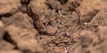
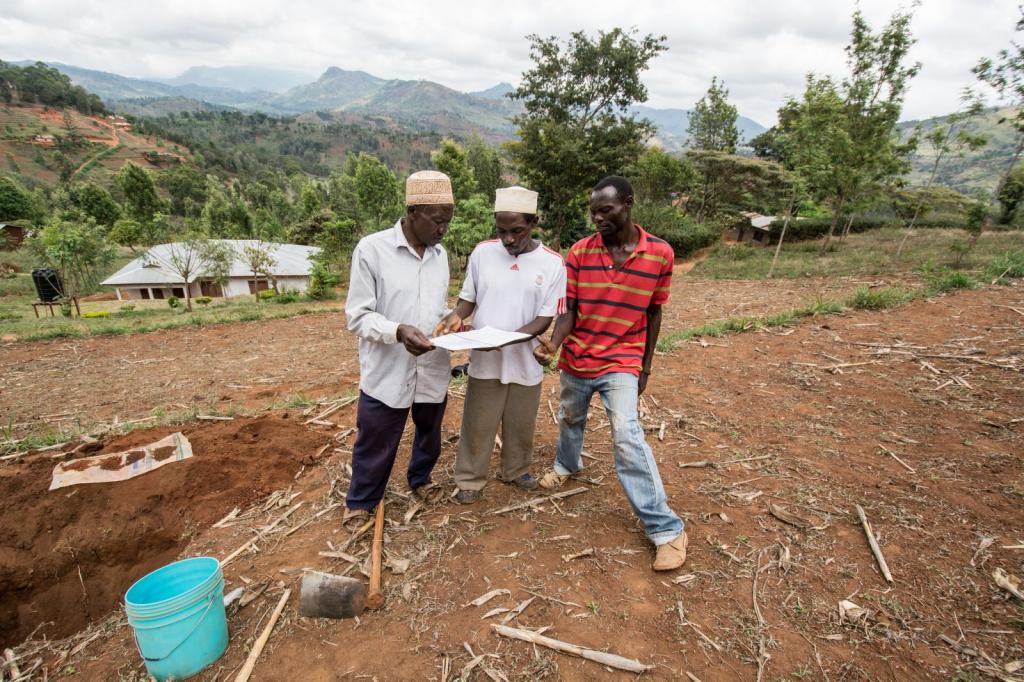
Researchers are building a database of soils in Lushoto - a biophysical baseline of soil and land health metrics across the landscape to map soil properties and build a bigger picture of the landscape. The data doesn’t only consider soil – but also sociological data like gender.
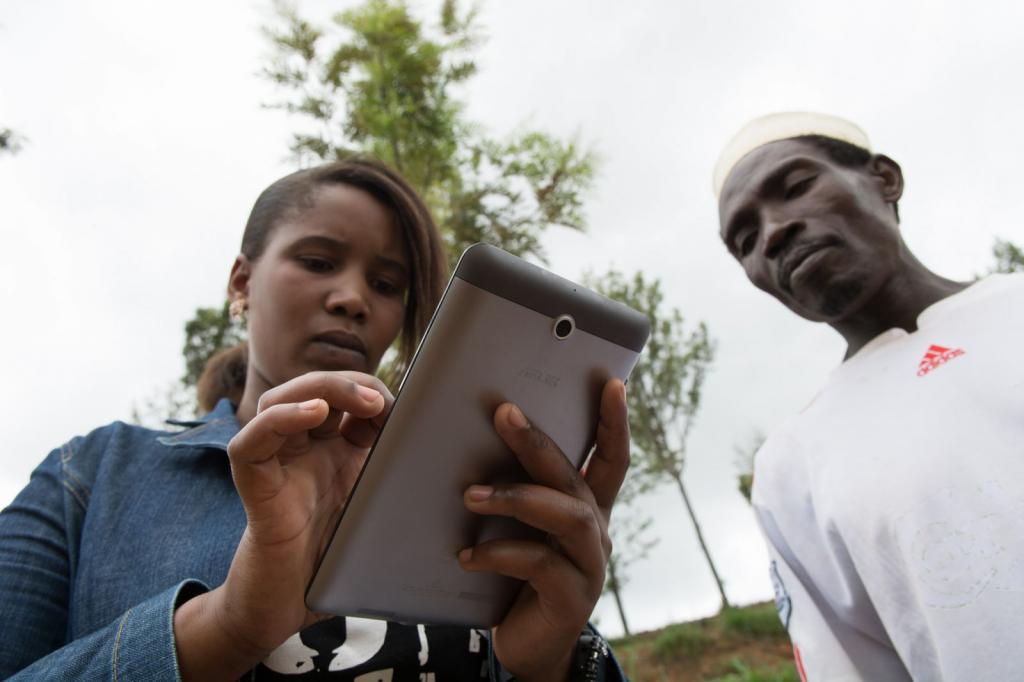
As well as collecting data to build maps, a team of field researchers, like Gladness Marthin from the CGIAR Research Program on Climate Change, Agriculture and Food Security (CCAFS), work with farmers to teach them how to make simple soil profiles to determine key soil health properties.
Such properties include color, texture and root distribution. Farmers can use this information to guide other farmers in decision making – about what crops to grow where, and also where to apply manure or fertilizer to improve nutrients.
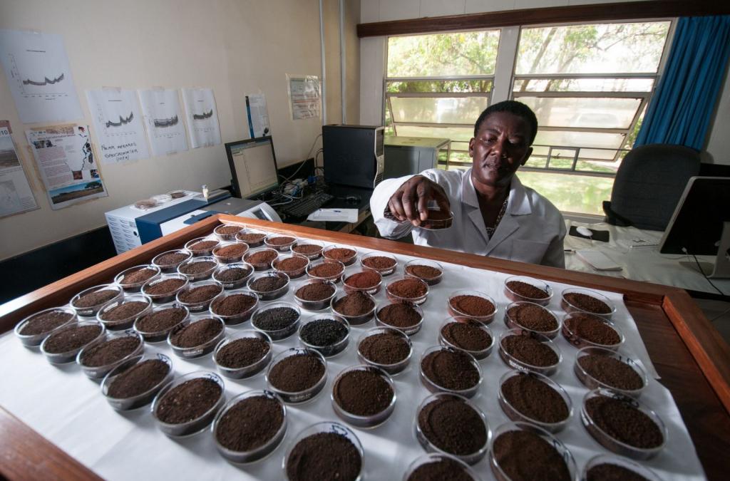
Scholastica Morrison is one of a kind. A laboratory technician at the Selian Agricultural Research Institute in Arusha, Tanzania, she uses state-of-the-art technology: a new Near Infrared (NIR) Spectrometer, to scan 200-300 soil samples a day instead of just 20 as with previous techniques. It’s the only such machine in Tanzania.
With such data, more accurate information about the landscape and diverse soils within it will enable better decision making and more sustainable land management practices, empowering the next generation to protect their resources.
Photos: Georgina Smith (CIAT)
Learn more:
Read the Down to earth data blog post
See more photos on climate-smart landscapes in Lushoto.
Georgina Smith is a Communications Specialist working for International Center for Tropical Agriculture (CIAT) based in Vietnam. She also helps with communication for CCAFS in the Southeast Asia region.