Weather generating tool helps agronomists assess climate risk
Information about the weather is important for decision-making about risk management, particularly in dryland farming systems.
While models are suitable tools for evaluating risk, they require accurate daily weather data to feed into model development. Particularly in developing countries, the availability and quality of historical weather data is often limited.
MarkSimGCM is a stochastic weather generator that aims to help fill this gap. This application uses the well-known MarkSim application, a tool that generates simulated daily weather data specifically designed for use in the tropics, including rainfall, maximum and minimum temperatures and solar radiation. It provides files of daily weather data that are completely compatible with the DSSAT Decision Support System for Agrotechnology Transfer crop modeling system.
MarkSim itself contains a calibration dataset of about 10,000 stations worldwide most of which have 15-20 years of historical daily data. MarkSimGCM was developed using a generalized downscaling and data generation method. This method takes the outputs of a General Circulation Model, that projects climate through time in response to different forcings, and allows the stochastic generation of daily weather data that are characteristic of future climatologies.
Such data can then be used to drive any impacts model that requires daily weather data. The application works from a set of interpolated climate surfaces through a third-order Markov rainfall generator to simulate the occurrence of a rain day. MarkSim uses a special stochastic resampling of the model parameters to realistically simulate rainfall and temperature variances for almost anywhere in the tropics.
A key group of users of MarkSimGCM are likely to be agronomists who can incorporate the simulated weather data into their crop models.
By clicking on the map, MarkSimGCM generates data for a specific location anywhere in the world that can be used for crop, livestock and natural resource modeling and risk assessment. MarkSimGCM outputs are specifically tailored to directly feed into the DSSAT system, which integrates a range of different crop models and soil, and management databases, allowing the user to set up different simulations and evaluate the risks of growing rainfed crops, for example.
The development of MarkSimGCM was undertaken by Waen Associates, supported by CCAFS, in cooperation with CIAT, ILRI, IFPRI, Potsdam Institute for Climate Impact Research and HarvestChoice.
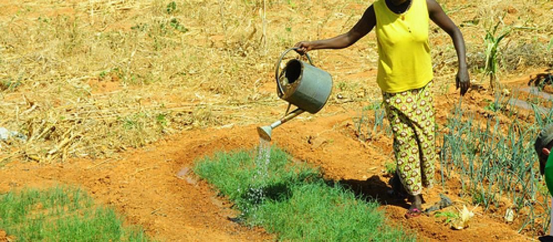
The photo in this story is from a series of farmer testimonials from Burkina Faso, Ninigui: A war against… erosion and desertification.
Part II: Adama’s crops in the desert
Part III: Ousseni combines farming and cattle herding
Part IV: Helene’s vegetable farm