Quality climate data, the foundation of tomorrow’s climate services
 Andree Nenkam and Pierre Sibiry Traore(International Crops Research Institute for the Semi-Arid Tropics (ICRISAT))
Climate service initiative is helping to make climate data available in Mali.
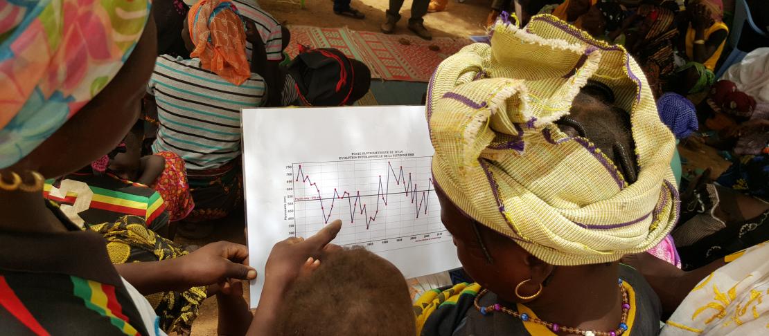
The amount and quality of station climate data is declining all over Africa. Such is the case in Mali, where a security crisis in the northern half of the country adversely affected climate data availability, particularly since 2012. Further compounded by the historically low density of the weather station networks, this greatly hinders local decision-making processes that may benefit from the use of climate data. This, in turn, affects the ability of vulnerable communities to sustain their resilience capacity in a changing environment characterized by population growth, increasing externalization of risk and expected rise in the frequency of extreme events. Restoring the availability and accessibility of quality climate data over space and time is the aim of the Enhancing National Climate Services (ENACTS) initiative, promoted by the International Research Institute for Climate and Society (IRI) at Columbia University.
On November 3 2016, the International Crops Research Institute for the Semi-Arid Tropics (ICRISAT), Mali-Meteo and IRI launched the ENACTS initiative in Mali during a national workshop attended by 60 participants to i) introduce stakeholders to Mali Meteo’s new data and web interface, called the Mali Meteo Data Library; ii) and solicit feedbacks and recommendations from participants. This workshop was organized under the umbrellas of the CCAFS-funded Capacitating African Smallholder with Climate Services and Insurance Development (CASCAID) project funded by the CGIAR Research Program on Climate Change, Agriculture and Food Security (CCAFS) and led by ICRISAT and the World Agroforestry Center (ICRAF), teaming up with the United States Agency for International Development (USAID) funded project Building Mali Meteo’s Capacity to Deliver Improved Climate Services led by IRI.
ENACTS is an initiative that focuses on the creation of reliable climate information suitable for national and local decision making. Its main objective is to improve simultaneously the availability, access and use of climate information. The ENACTS initiative sees climate data as the foundation to deliver climate services. The cornerstone of the ENACTS approach lies in collaborative work with the National Meteorological and Hydrological Services (NMHS), blending national observations with satellite and other proxy data to improve the quality of their data base and extend the wall-to-wall coverage on a 5 km grid. Said Tufa Dinku, the mastermind of ENACTS said: “Without a strong foundation a house cannot be stable; likewise without strong, efficient and quality climate data provision, information from climate services will not be reliable”.
Learn more about ENACTS: Quality climate data at the click of a button
For Ramadjita Tabo, ICRISAT’s Regional Director for the West and Central Africa region who welcomed the participants on behalf of the ICRISAT Director General, “ENACTS formalizes our hopes for the renewal of climate services in Mali”. Under the ENACTS initiative, products from climate data (rainfall and temperature) can be freely be accessible via Mali Meteo’s “DATATHÈQUE”. There, users only need to specify the geographical coordinates of a target location to access diverse maproom products pertaining to local climate (analysis, monitoring and forecast) and malaria historical analyses. This tool also provides a unique opportunity for stakeholders’ design of online custom analyses based on specific sectorial needs, using the available statistical tools. It is a flexible tool that still has room for more products development and improvement.
The ENACTS initiative implementation in Mali will help achieve some key objectives of the CCAFS funded project CASCAID, notably: i) building the capacity of the NMHS to provide timely and reliable climate information; ii) easing the implementation of the Participatory Integrated Climate Services for Agriculture (PICSA) approach in Mali - a sustainable approach, which provides smallholder famers with climatic information they don’t have access to, to manage climate related risks and improve resilience; and iii) generating merged data which may be used for improved food security sub-national outlooks – a novel utilization the CASCAID project will test by calibrating the CCAFS Regional Agricultural Forecasting Tool (CRAFT) for a 100,000 km2 area covered by the Malian Textile Development Company (CMDT) cotton parastatal in southern Mali.
“ENACTS is seen by CCAFS as an important tool that will contribute to effectively build the capacity of the National Meteorological and Hydrological Services towards developing high quality databases needed to generate downscaled and tailored climate information services,” stressed Robert Zougmore, the CCAFS Regional Program Leader for the Africa region.
Learn more about PICSA: Participatory Integrated Climate Services for Agriculture (PICSA): Field Manual
Andree Nenkam is Scientific Officer at ICRISAT.
Pierre C. Sibiry Traoré is Senior Scientist at ICRISAT.