Farmers from climate-smart villages in Lower Nyando and Kericho can now identify adaptive measures for future climate
 Solomon Kilungu, Mary Nyasimi and Philip Kimeli (CCAFS Gender and Climate Change)
A pre-planning meeting brought together stakeholders and partners from Nyando and Kericho Climate-Smart Villages to plan for a strategic farmer exchange visit informed by the Climate Analogues tool.
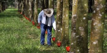
Smallholder farmers from Nyando and Kericho Climate-Smart Villages (CSV) are preparing to visit their “future farms” as they traverse the Kenyan Rift valley, interacting with other smallholders who are already experiencing their future climate. This will enable the climate-smart farmers to observe and learn how other farmers are adapting to climate change, and what technologies and innovations they are practicing on their farms. The visit will be comprehensive, to enable farmers to learn with aims of sharing and training other farmers when they return home.
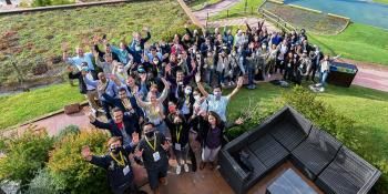
Between October 28 – 30 2014 under the Farms of the Future project of the CGIAR Research Program on Climate Change, Agriculture and Food Security (CCAFS), East Africa convened different stakeholders from Nyando and Kericho areas in a pre-planning workshop for the farmer exchange visit under the Farms of the Future project which uses the climate analogues tool.
The Climate Analogues tool allows farmers and Agricultural Innovation Actors (AIS) to identify and connect with a location that has a climate similar to the one projected by the tool. The tool provides farmers with a strategic opportunity of learning appropriate adaptive measures that will not only provide better crop and animal yields, but also mitigate climate change effects.
After generation of analogue maps using future-projected scenarios different stakeholders and partners were invited to study the analogue maps and plan for the farmer exchange visit and ensure farmers to incorporate their valuable input in the process.
Participatory identification of analogue sites and learning opportunities
Brief presentation of analogue concept was important in explaining how the analogue maps were generated. Since most of the participants had attended the climate scenarios and analogue concept training held previously, it was relatively easy to bring all the participants to the same level of understanding. In considering the temperature and precipitation with different crop growing (short and long rain) seasons, a total of 9 analogue maps were generated.
Using a participatory approach, analogues sites were identified by selecting the most reliable crop growing season in the two CSVs, of which the long rain season was unanimously agreed upon. However, it is important to note that famers do rely upon the short rains like they did during the 2014 season. In order to incorporate all the suggestions, the analogue maps for all year, long rains and short rains were agreed to be used. In terms of bioclimatic factors, precipitation was a preferred parameter but since the analogue tool shows the change in temperature it was agreed that both temperature and precipitation should be included.
Learn more about the analogue tool
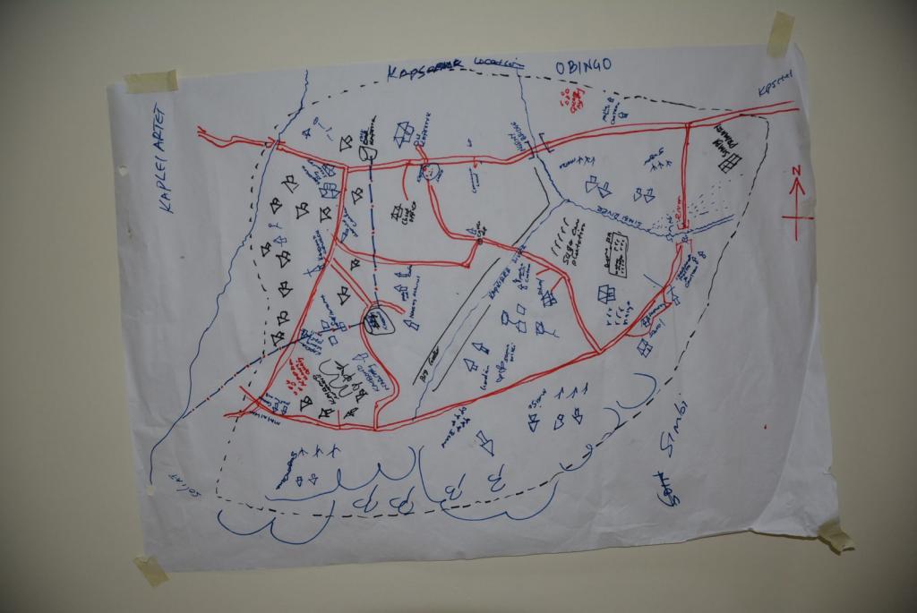
One of the maps generated from the resource mapping condusted during the planning photo: S.KILUNGU (CCAFS)
Participatory resource mapping
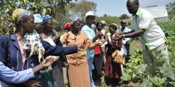
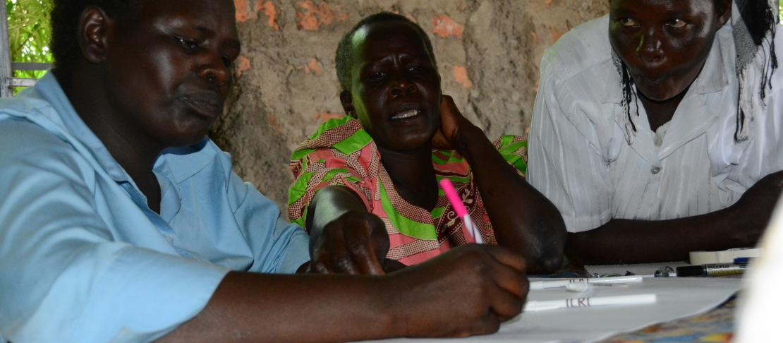
During the training workshop, farmers and participants were involved in exploring the impacts that climate change has had on their resources. Using the Community Resource Mapping (CRM) exercise, a total of 32 farmers (16 of each sex) from the 2 CSVs participated in generating community maps showing the various resources that farmers are using for agricultural adaptation. Community resources identified included both tangible (land, forests, livestock, crops, people, market centers, roads) and intangible resources (knowledge, skills, cultural practices, and social institutions). By recognizing these resources, communities were able to reconfirm their capabilities and discover possibilities for mobilizing existing resources to meet their interests and needs, and to fulfill community aspirations during an extreme weather change. 4 maps were generated, drawn by the groups of men and women from each village, showcasing the past, present and anticipated future resources of the villages. The future scenarios generated a debate especially on population increase and declining resources.
The mapping process showed the resources that have been steadily decreasing over the years in the two villages. The farmers pointed out factors have played major roles in the reduction of resources, such as increased population, cutting down of trees for food and migration of youth to urban centers .
Our villages used to have a lot of trees and forests with a lot of bees producing honey. But the demand for firewood has disseminated the forests. Through agroforestry, we can also rebuild the trees on our farms, which when harvested sustainably can serve several purposes, such as soil conservation, fodder feed, firewood, honey production and conserving soil moisture”, said Agnes Rotich.
Resolutions of the meeting
After selecting analogue maps to use and mapping the resources available to the villages, the participants then analyzed the maps identifying the closest analogue sites and possible learning opportunities in those sites. The identified sites were then discussed in terms of possible learning opportunities, climatic factors, population densities and topography. After intensive consultations and discussions, the following analogue sites were selected and a study route was developed: Homabay, Migori, Nakuru, Baringo and Elgeyo Marakwet.
On-farm demonstrations and field visits to other villages or communities that are coping well with climate change will be an assetto the CSV farmers”. Wilson Aore, Kenya Agricultural, Livestock and Research Organization (KALRO)
The selected sites are expected offer extensive learning opportunities and are aimed to improve the livelihoods of the farmers from Nyando after the tour and implementation of learned activities.
Learn how to use the climate analogues tool
Solomon Kilungu, Mary Nyasimi and Philip Kimeli all work for the CCAFS East Africa team
For more information about CCAFS work in East Africa visit our webpage and follow @cgiarclimate_EA on twitter.