Climate-Smart Maps and Adaptation Plans (CS MAP) of the 7 provinces in Vietnam’s Mekong River Delta
Published on
by
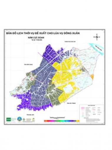
Using the Climate-Smart Maps and Adaptation Plans (CS MAP) methodology, CCAFS Southeast Asia and the Department of Crop Production of Vietnam's Ministry of Agriculture and Rural Development, updated the maps of drought and salinity intrusion risks (both for normal and extreme years) for rice production areas in the drought-prone provinces of: Hau Giang, Kien Giang, Long An, Soc Trang, Tien Giang, Tra Vinh, and Vinh Long.
Citation
CCAFS SEA, DCP-MARD. 2020. Climate-Smart Maps and Adaptation Plans (CS MAP) of the 7 provinces in Vietnam’s Mekong River Delta. Hanoi, Vietnam: CGIAR Research Program on Climate Change, Agriculture and Food Security (CCAFS).