Core Sites in the CCAFS Regions
The site selection process of the CGIAR Research Program on Climate Change, Agriculture and Food Security (CCAFS) has been based upon two principles: 1) recognition of the need to build strong partnerships with a range of actors (NGO’s, government agencies, national agricultural research extension systems (NARES), farmer groups and private sector) already working in these areas, without whom impact on sustainable poverty reduction and improved food security would not be possible; and 2) the desire to build on existing structures, institutions, projects and programs and not ‘start from scratch’.
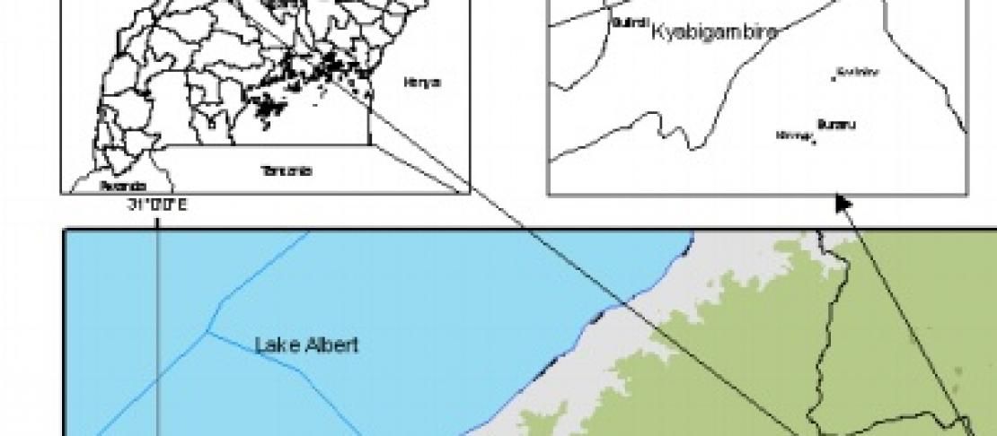
The program site selection process started in 2010 with a comprehensive look at what was already happening, where and with whom, in collaboration with CGIAR partners and regional stakeholders within each of the initial three regions: East Africa, West Africa and South Asia. This process allowed for stakeholders to assist with choosing sites where an agreed-upon set of criteria were met.
Key criterias:
A set of research locations representing key biophysical and agro-ecological gradients of the respective regions |
Research locations that represent the key socio-economic and (where relevant) demographic gradients for the region, including extent of urbanization and gendered participation in different agricultural production systems |
Research sites that lie along gradients of anticipated temperature and precipitation change |
Research sites that lie along gradients of current and anticipated land use pressure |
Research sites that represent different institutional (e.g. land tenure) arrangements. Similarly, gradients of significant difference in political and governance history |
Sites that have significant but contrasting climate-related problems and opportunities for intervention |
High potential sites, i.e. where impact is likely to be achieved: sites that build on ongoing CGIAR and national research infrastructure and research sites, and thus have good existing data on historical weather records; characterization of the natural resource base; detailed, longitudinal data on agricultural production; detailed, longitudinal socio-economic and demographic data at the household and village settlement/district level; data on the food system; and data on historical events and shocks experienced in relation to food security in the site |
Governance and institutional capacity that favor the likelihood of scaling up and generating transferable results |
Local champions knowledgeable about the site and available for/committed to collaborative work with CCAFS |
A network of regional partners that will facilitate scaling up |
Sites that have mitigation/carbon sequestration potential |
Sites that are safe to work in, i.e. have good security for research teams |
Research sites that are physically accessible and have the minimum logistical comforts for conducting research |
Marginal sites with high vulnerability where impact will be difficult to achieve but where the need for innovative solutions to poverty and climate change vulnerability may be greatest |
Since its initial selection phase in 2010, CCAFS has now expanded into Southeast Asia and Latin America following a similar process.
The below document provides site portfolios including brief site descriptions, coordinates of the sampling frames for the baseline surveys, initial CCAFS activities, ongoing CGIAR and non-CGIAR research and activities, current/potential partners and maps for the initial CCAFS regional sites:
Publication: Core Sites in the CCAFS Regions: Eastern Africa, West Africa and South Asia. Version 3, August 2013. (10 MB PDF). Produced by Wiebke Förch, Patti Kristjanson, Philip Thornton. Maps by Jusper Kiplimo)