Terra-i: An eye on habitat change
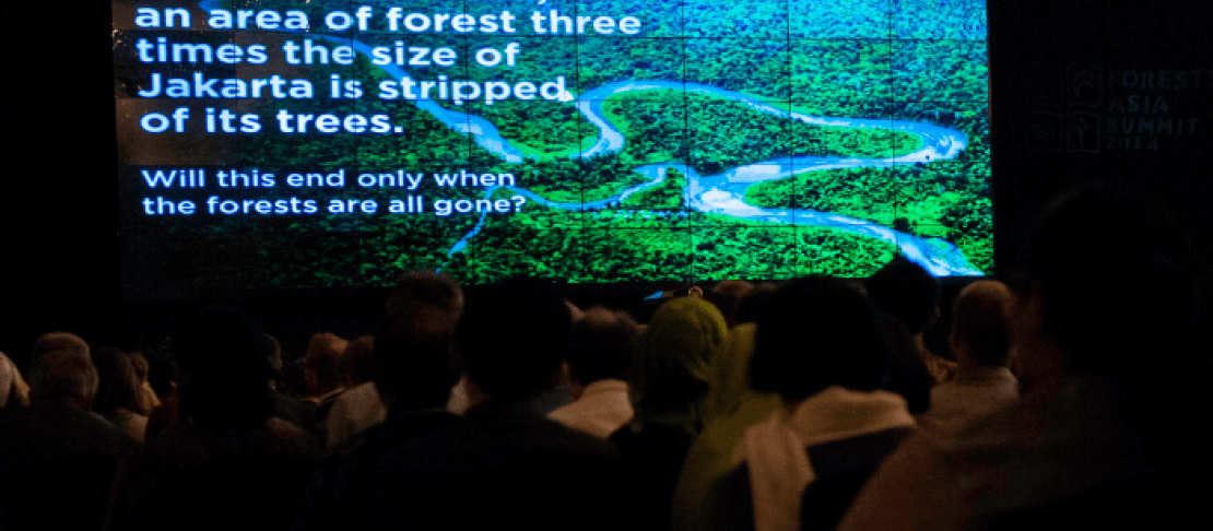
Deforestation can lead to widespread loss of biodiversity and also impacts the ecosystem services that foster a stable climate and secure freshwater supplies. In many parts of the world the scale and pattern of deforestation is infrequently and inconsistently monitored and this makes management of land-cover change very difficult. Terra-i – available open source and free-of-charge – detects land-cover changes resulting from human activities in near real-time, producing updates every 16 days. Developed in cooperation with CIAT.
Investment outcome
The aim of Terra-i is to detect vegetation loss resulting from human activities in near real-time and thus provide updated information about vegetation status with a frequency and spatial resolution relevant for decision makers. National and local authorities will have better information to monitor vegetation loss in near real time and respond to new deforestation hotspots accordingly.
The challenge
Natural vegetation conversion is contributing to widespread loss of biodiversity and other critical ecosystem services, yet in many parts of the world the scale and pattern of loss occurs unmonitored. Decision makers – from the local to national to regional level – require easy-to-digest information tools, which are accurate and up-to-date as possible, and friendly assistance in their application in order to effectively halt deforestation. The high temporal resolution MODIS data can be used to monitor land-cover change across large areas but the massive quantity of data and “noise” make this endeavor a challenge.
The opportunity
Terra-i currently detects land-cover changes for the whole of Latin America and is being expanded to cover the entire tropics. Open source and free-of-charge, Terra-i means lower-income countries have the chance to monitor deforestation themselves. Terra-i has attracted over 2,000 registered users, and in just the last year, 260 organizations from 45 countries have reported using the tool for uses as diverse as implementing REDD+ projects to analyzing the complex ties between drug trafficking and accelerated deforestation.
The strategy
Based on satellite information from NASA, Terra-i is smart enough to distinguish between natural losses and those caused by human activity – and can also monitor habitat change in non-forested areas, such as savannahs and deserts. The cost-effective system is based on the premise that natural vegetation follows a predictable pattern of changes in greenness from one date to the next brought about by site-specific land and climatic conditions over the same period. A computational neural network is ‘trained’ to understand the normal pattern of changes in vegetation greenness in relation to terrain and rainfall for a site and then marks areas as changed where the greenness suddenly changes well beyond these normal limits. This analysis is refreshed with new imagery every 16 days and for every 250m square of land.
Contact
For more information please contact Anton Eitzinger, Spatial Analyst and Climate Change Scientist at CIAT.