How to map climate risks in farming communities
 Renz Louie Celeridad(World Agroforestry Center)
In 2018, climate-related risks were mapped to develop local adaptation mechanisms for the 15 villages (locally known as barangay) of Ivisan, Capiz in the Philippines. A project team led by the International Institute for Rural Reconstruction (IIRR) took 10 key steps to apply a mapping methodology that already saved 600,000 hectares of rice lands in Vietnam.
The methodology is called the Climate-Smart Maps and Adaptation Plans (CS-MAP). The methodology was developed under a participatory approach and involves relevant actors to determine the risk levels of farms. In his case, the risk levels were simplified as “low,” “moderate,” and “high” for the convenience of the intended end-users: the local government units (LGUs) of Ivisan, barangay-level officials, and farmers.
Even though the risk level categories were simplifications, the adaptation strategies were thorough. Each barangay determined the risk levels of their farms under three scenarios: “before,” “during,” and “after” the occurrence of a risk. Strategies were then developed to be appropriate in the farms and commodities in Ivisan.
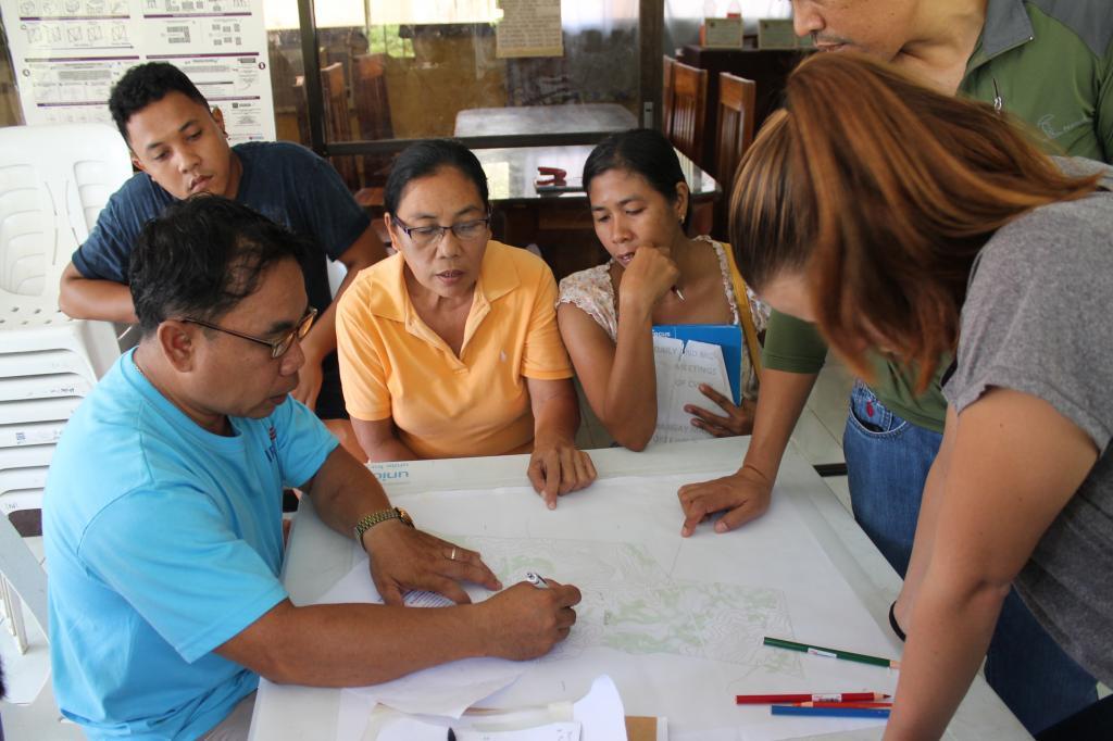
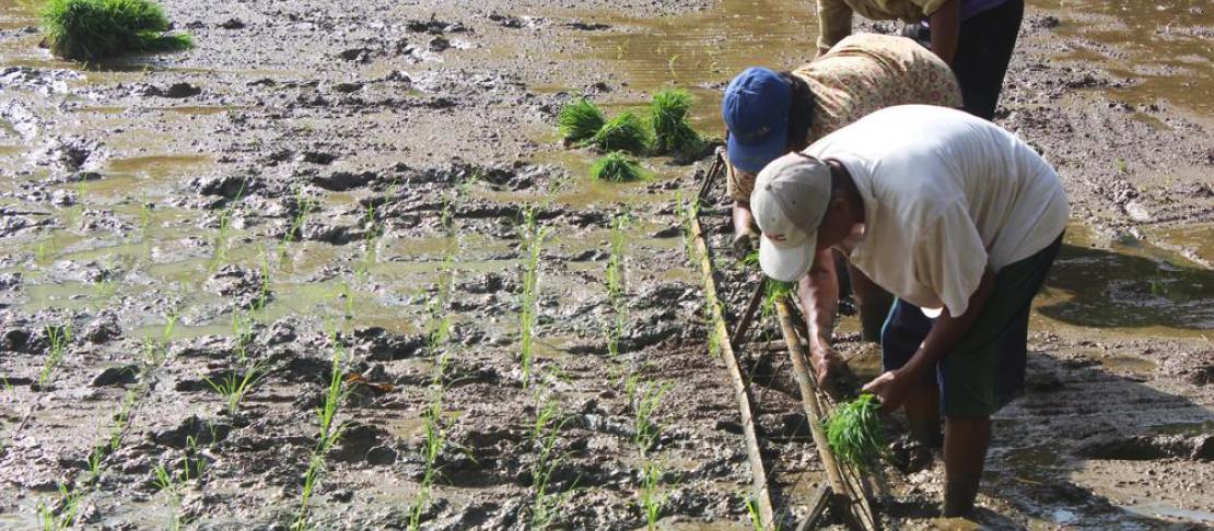
Farmers and fisherfolks in Ivisan, Capiz in the Philippines participated in a community risk mapping exercise to identify risk-prone areas, potential impacts, and appropriate adaptation schemes. Photo: IIRR
A total of 10 climate-related risks were assessed: flood, landslide, storm surge, drought, salinity intrusion, red tide, flash flood, typhoon, strong winds, and pests and diseases. Storm surge has not happened yet but remains possible in certain areas. These risks were considered on rice, agroforestry, vegetable, root and tuber crops, livestock and poultry, fishponds, fish cages, fishnets, fish drying, oyster and mussel farming, and gleaning.
Click here to read the publication |
Risk maps and adaptation plans
The implementation of the CS-MAP methodology is heavily dependent on the participation of the farming communities. The IIRR team generated and then validated the maps with each barangay to ensure that they were clear and appropriate. Before generating the maps, the team consulted local government partners to introduce the project and collect relevant data. The CS-MAP emphasizes that the end-users should fully understand the importance of mapping climate risks.
After the communities identified the risk-prone areas and their corresponding risk levels, they developed the adaptation strategies appropriate for their contexts with assistance from IIRR. The strategies included infrastructure development, crop and livelihood diversification, replanting, and access to financial services. Planting of high-yielding and risk-tolerant crops was also a common strategy. Policy recommendations were also drafted by the communities for their respective LGUs.
The CS-MAP process and the policy recommendations were documented in a publication produced by IIRR under a grant from the CGIAR Research Program on Climate Change, Agriculture and Food Security (CCAFS) in Southeast Asia. The publication lays out the steps to implement the CS-MAP, drawing from the experiences of Vietnam’s Mekong River Delta. The publication was structured not only as a documentation of a case study but also an easy-to-use guide to map climate-related risks and develop adaptation strategies.
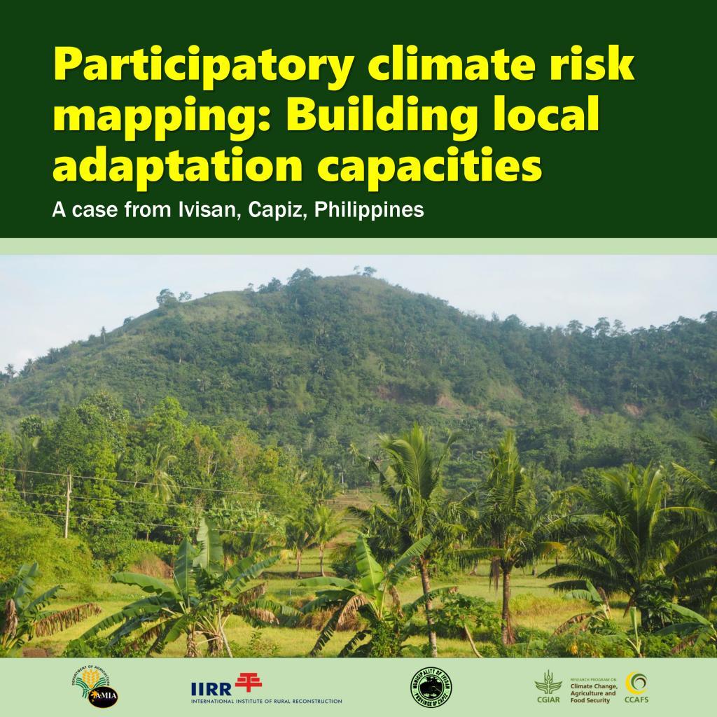
Download the publication: Participatory climate risk mapping: Building local adaptation capacities. A case from Ivisan, Capiz, Philippines. Cavite, Philippines